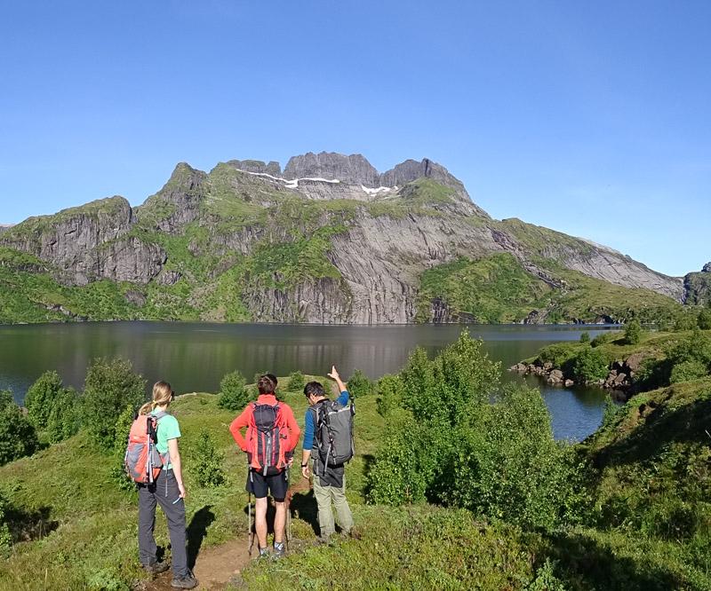
The great crossing of the Lofoten Islands

Since Rando-Lofoten was founded, a certain number of visitors have told us they would be interested in a trekking itinerary that crosses the archipelago from one end to the other. Crossing a region from north to south or east to west often enables travellers to set themselves a goal when faced with the unknown. But over and above the physical or psychological challenge we believe it is important to remember that hiking is above all about discovery and enjoyment.
In drawing up the following itinerary we gave ourselves the following goals:
- To avoid missing the most iconic places on the islands
- To avoid tarmacked sections of road wherever possible
- To hike as often as possible within easy reach of supply points (shops, petrol stations) to avoid having to carry an enormous rucksack!
Lastly, this itinerary is not the only possible one. Many of the hikes on the Rando-Lofoten site do not lie directly on the route of this crossing but are easily accessible if you branch off, provided you have the time and inclination.
The duration/distance of the stages we propose here is only a suggestion based on a reasonable level of fitness and decent weather, but it may be adapted to your own criteria. If you decide to camp you can pitch your tent virtually anywhere on the islands, provided of course that you comply with the regulations in force. Although water supplies are to be found everywhere at all stages, you will find relatively few food stores on the route. We have made a note of all the food supply points on this itinerary (shops, restaurants, petrol stations) that existed in 2014. To avoid disappointment, once you get there you should, however, check the opening times of these supply points when you leave each stage for the next...
| Trekking in the Lofoten from north to south in 11 days Detailed description of the "the great crossing of the Lofoten Islands" (160 km distance and 9,193 m uphill) |
Read more |

